Saturday September 14
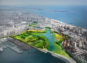
Calvert Vaux Park
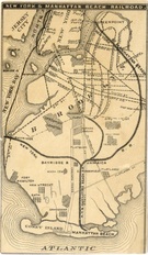
Route map
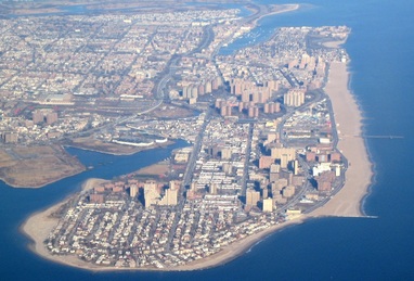
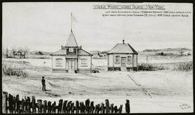
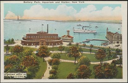
Beyond sand, summer, and Stillwell Ave., the Coney Island peninsula’s history is deeply entwined with greater New York’s. The interplay of land and water has been central to that history, especially through conflicts over public and private land use.
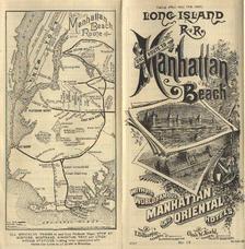
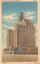
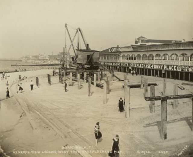
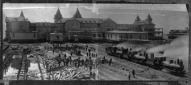
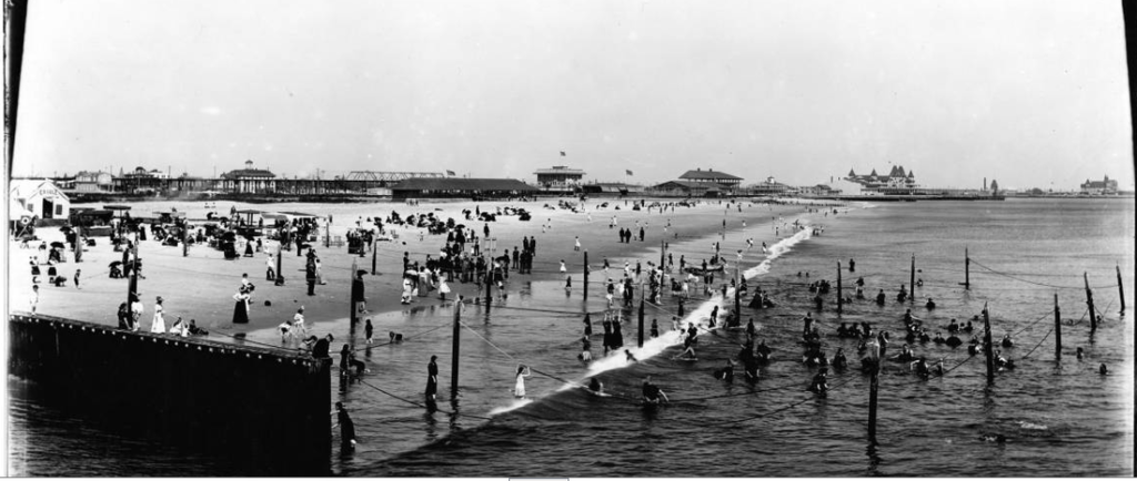
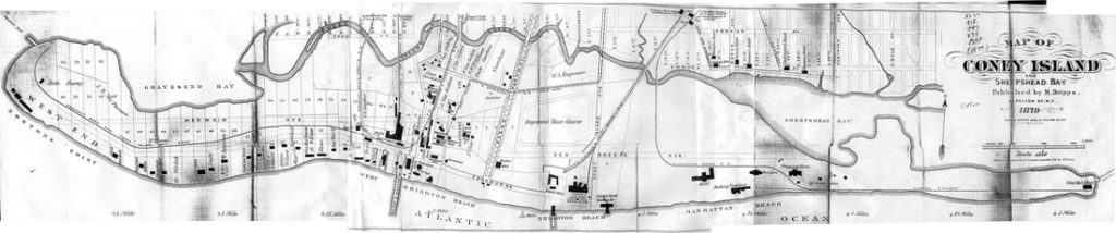
This NYC H2O tour will trace the development of the Coney Peninsula, from its colonial origins as part of the Gravesend settlement. We will walk along the harbor shore to the peninsula’s Western end at Norton Point, where the first amusements went up in 1845. Next we will trace the course of part of Coney Island creek. After passing through Brighton Beach we will arrive at the Eastern reaches of Manhattan Beach where, instead of sand, stately homes and co-ops abut the Atlantic Ocean. On the way, we’ll explore the controversial legacy of Robert Moses.
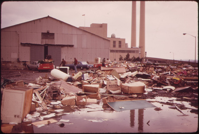
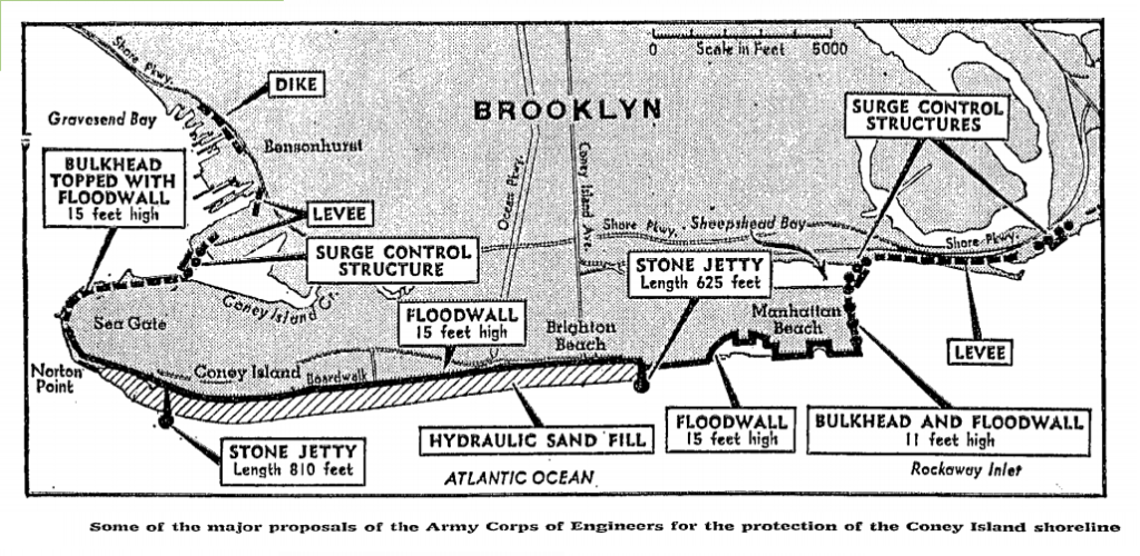
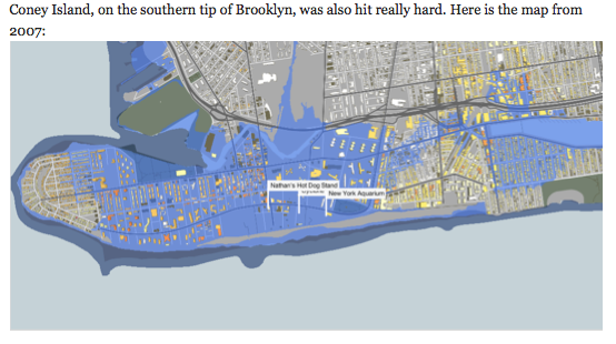
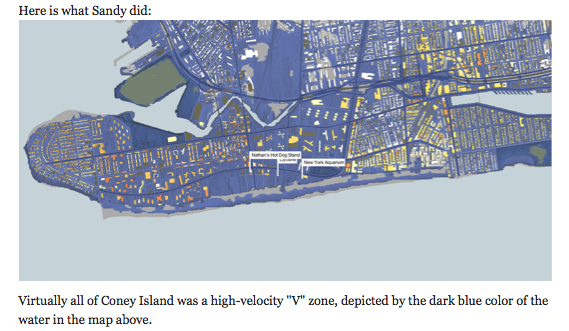
As recovery work from Hurricane Sandy continues, so also does work to prepare for the next storm. Since more changes are coming to Coney Island, this tour offers a great opportunity to learn of its conflicted past.
The tour guide will be educator and geographer Adam Schwartz. Adam helped curate the Brooklyn Historical Society exhibit Up From Flames, Mapping the Recovery of Bushwick 1977-2007.